
2024 Update
For the past year a new reservoir has been under construction in Klong Prao. If you want to take a look at the site you can follow the road inland from Point 5 on the old map. The reservoir covers the points 10-15 and the area to the south of it.
2020 Update. Not worth trying this now. Not so easy to do in a couple of places, so unfortunately use it as a reference only. Some parts of the walk are possible still.
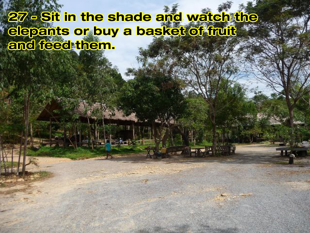
Dec ’11: Quite a few people have been doing this walk but one of the local landowners, whose elephant camp, part of this walk goes through doesn’t like the idea of people walking on tracks across his property when they should be riding elephants across them.
Therefore, I have been asked to remove the PDF print out from the site.
Also note that the National Park guys will now try to stop you from taking the old road.
+++
You’ll find a variety of jungle trekking options on offer on Koh Chang, these will take you to the top of peaks and make for a great, if strenuous, day out. But what you won’t find are any marked, easy to follow trails for people who just fancy a nice walk. Without any local knowledge you’re pretty much limited to just wandering along the main road. This makes for a hot day out.and one where you don’t see anything that you wouldn’t see from a scooter or the back of a pick-up truck taxi.
Or you could go to the Klong Plu waterfall but in High Season that gets pretty crowded too as that’s where everyone who doesn’t want to just walk along the main road goes to.
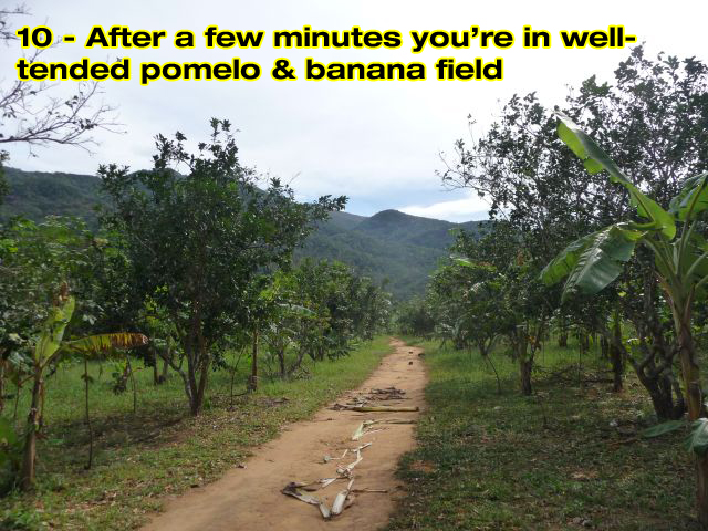
So here’s something for anyone wanting to stretch their legs and get off the beaten track. A loop around the Klong Prao village area. The 9km walk doesn’t involve any hill climbing and most of it is on tracks and an abandoned road. It will take you from the beach to boundary of the National Park through fruit farms, coconut and rubber plantations. There’s also a couple of spots where you can cool off in the river and you can also add on visit to Klong Plu waterfall or stop and feed the elephants.
On the way Plus there is some great mountain scenery and a few good restaurants on the route where you can grab lunch. You’ll also have to cross a river by boat and so you may want to consider this in your choice of restaurant. (More about this later.)
It’s quite a flexible route so it’s easy to skip half of it or make your own detours and take a pick up truck taxi back to your hotel. For anyone staying in the center or south of Klong Prao beach then just make the starting point your resort. You don’t have to follow it to the letter, but it should make you a bit more confident about exploring on your own and wandering down dirt tracks to see where you end up.
Essential Equipment.
Nothing in particular. No GPS required. No sensible footwear ( I wore 200 Baht flip flops but you might prefer your Tevas or Birkenstocks.) Just take a bottle of water or two with you, a sun hat and your camera. and of course my rough map and instructions. Providing you posess a vague sense of direction you shouldn’t get lost as there are only a couple of short sections where the trails aren’t immediately obvious.
Time.
It takes me two hours to walk the route. But I already know where I am going and I don’t stop off anywhere other than to take photos and buy a bottle of water. So a more realistic time would be around 4-5 hours if you want to visit the waterfall, swim or stop for lunch. But it’d be easy to fill a whole day and, for example, end with a late afternoon swim in the sea and a beer on the beach.
The Start.
I started at our guesthouse ‘Baan Rim Nam’ and ended here and so for the purposes of this guide they’re the start and finish points. But as mentioned before, you can start and end anywhere you choose.
The Route.
The Googlemap above shows the route and directions for each point.
Photos.
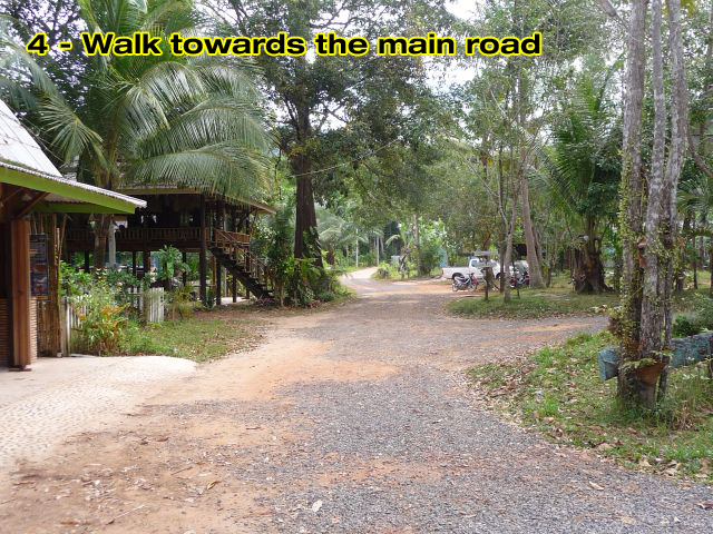
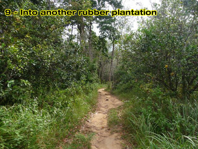
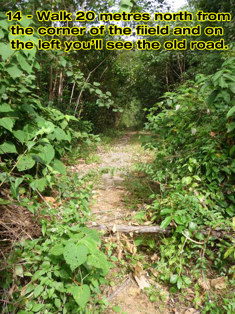
These photo galleries have annotated photos. The numbers correspond to those on the map at the top of the page:
Part 1 From the Start, Along the Beach and Inland
Part 2 Towards the River and along the Abandoned Road to the Waterfall
Part 3 Around the River and onto the Hillside
Part 4 More Views and the Finish Line










Hi Ida
I don’t advise doing that walk as the landowners behind the elephant camp don’t like people walking on the tracks through their land now.
Somehow I can’t open the attached google maps, and I don’t find the no5 (to start from). Would it be possible to upload the link to google maps (with the route of the trek) once again? Would be really thankful. Greetings!
Dear Ian,
Thank you for the description, we made this trek today, starting from step 5. We entered the National park through the ‘waterfall trail’. It was a bit tougher than the rest of the walk (but we saved the enterance ticket :)) We recommend to wear hiking sandals the least due to the rocks and roots onthe way. This walk definitely worth it :))))
Thanks Max. I haven’t been along it for a long time. Good to hear you can still find the route OK.
We walked half of this trail today, starting from the road in Kai bae, walking through the jungle towards the extrance of the klong phrao waterfall.
We experienced some real rainforest rain after an hour of walking. After that, the path was really slippery. So slippery,I would advise against flip-flops. My girlfriend made a fall that looked really bad, but luckily all she broke was inside her backpack.
The hike is amazing, because you get to meet other tourists on elephants and on quads(those four-wheel motorbike thingies). In a way it’s like a guided tour without a guide.
So that was you I spoke to in the car park yesterday. There isn’t a bridge over the river, so the only way is by boat. You didn’t mention that you’d done the walk from my site. Just that you wanted to get cross the river. As there’s no bridge and no boat service, you have to go around if you are walking – which is why I told you to go to the main road.
But good you enjhoyed the walk. I haven’t updated it because, as you say, the owner of the elephant camp doesn’t like people walking through that area.
Try the Kai Bae Waterfall loop next. :-)
Did this hike yesterday. I think the pictures may be out dated but the hike I had was incredible. But be warned, if the signs are correct, you are trespassing. And if you try to do the loop backwards, you may be turned away at Baan Rim Nam and not allowed to cross the river back to CinnAmon, which means you have quite a bit of back tracking to do.
Going back to Koh Chang march next year having been twice in the last 2 years. I have yet to walk this trail.
This is now my top priority for when i return. :)
sounds like a fasinating adventure!
This might become easily one of the greatest attractions of Klong Prao if not Koh Chang! Great job Ian!